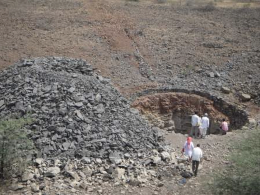
Groundwater overexploitation is a significant problem in many parts of India, especially in groundwater dependent dry land regions such as Maharashtra. However, villages with unexplored groundwater resources often fall within the “dark zones” categorization and therefore are not allowed to access their water resources. In this project, two partners collaborated to help create access to groundwater resources and ensure sustainable management in one such village in Pune district.
ACWADAM, with its understanding of geohydrology, demystified the concept of managing groundwater through systematic field research. This was followed by defining a set of groundwater management protocols based on the characteristics of the aquifer. This exercise also demonstrated that different management methods need to be evolved, as aquifer boundaries differ from administrative boundaries.
GGP, is an organization that has more than three decades of experience. It pioneered the Pani Panchayat model through which GGP motivated the people of the village to collaborate to harness their water resources for common good. GGP used ACWADAM’s scientific understanding and helped the villagers access groundwater in a sustainable manner. The project illustrated the potential of participatory watershed management to address water security issues. Measures such as optimum usage of pumps, modified cropping pattern which could match water availability and raise productivity etc. were adopted.
Findings from this project have the potential to influence small scale appropriate approaches to groundwater/aquifer management techniques in rural areas.
Outputs
- ACWADAM conducted extensive geo-hydrological studies,over a period of 6 months, on existing water sources, rainfall patterns, water quality and other features. It was established that though in a dark zone, the groundwater in the project villages was untapped.
- The Pani Panchayat model was adopted – sustainable methods of water utilization with priority to drinking water were evolved, such as:
- Irrigation schemes are undertaken for farmers,
- Water is allocated on the basis of the family rather than size of land,
- Cropping is restricted to seasonal crops, with low water requirement,
- Over 550 acres of land was irrigated
- Over 10 Water User Groups (WUGs) with around 275 members were formed.
- Over 10 Community-Lift irrigation schemes were completed.
- The government granted over 10 electricity connections to community groups (which was unavailable because this was a dark zone) to create water sources in the village
- Over 10 Self-Help Groups were formed.
- Around 6 old wells were deepened and over 12 wells were dug.
- It was demonstrated to the government and groundwater agencies that aquifer boundaries do not match administrative boundaries and that groundwater status needs to be based on more granular data so that villages which haven’t developed their groundwater potential do not get penalized because they are located in a dark zone.
/our-works/evolving-water-self-reliance-through-surface-and-groundwater-sharing-and-management